Google Maps is creating a commotion due to unintended rerouting issues
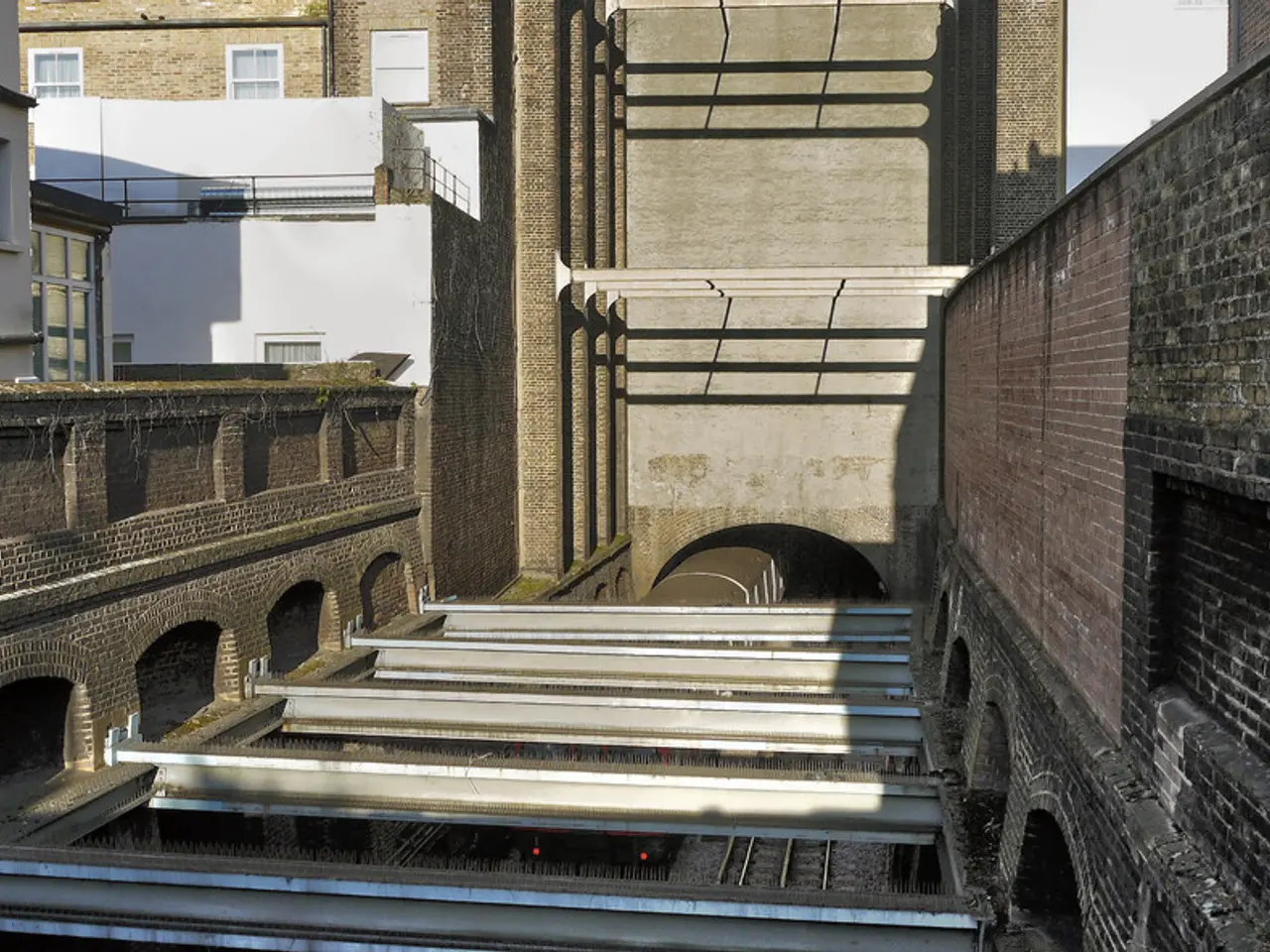
The A49 Frankenhain Tunnel is set to close from Monday, August 4, to Thursday, August 7, for maintenance work. However, the closure has led to a dilemma as many truck drivers are not following the designated detour routes, causing increased traffic congestion and safety risks on local roads.
For northbound traffic, the official detour involves driving via the B454, B254, and the Wabern interchange. Heading south towards Frankfurt, the detour leads from the Wabern interchange via the diversion routes U46 and U42. Despite these measures, many truck drivers are disregarding the official detour, leading to alternative paths being taken.
The B3 is currently closed due to construction work, which may have added to the detour confusion. Some truck drivers might be unaware of or ignoring the restrictions due to insufficient signage or enforcement. As a result, trucks have been getting stuck on local roads, such as the underpass on Monday evening when a truck ignored the official detour.
The implications of trucks not following the detour are significant. Local roads, not designed for heavy or high volumes of truck traffic, can suffer infrastructure damage. Slower traffic flow for local commuters, heightened accident risk, and challenges for local authorities in managing traffic effectively during the tunnel closure period are also concerns. It also undermines the goals of the detour, which are to maintain smooth traffic flow and safety on major roads during the construction or closure.
The closure affects traffic in both directions on the A49. The highway police and the Schwalm-Eder district will be checking the signage today to ensure it is correct. The maintenance work is being carried out by the A49 motorway company.
In an effort to avoid the official detour, many truck drivers have been using the route via Treysa to Allendorf. This has resulted in traffic jams heading south towards Schlierbach. Interestingly, Google Maps may have recommended this route that led to the truck getting stuck.
The closure will occur each night from 8 PM to 5 AM. The police spokesman emphasised the importance of following the official detour to ensure the safety of all road users and to maintain the intended smooth traffic flow during the tunnel closure period.
Despite the official detours in place for both northbound and southbound traffic on the A49 Frankenhain Tunnel, many truck drivers have been taking alternative routes, particularly via Treysa to Allendorf, which has resulted in increased traffic congestion and safety risks for local roads. This disregard for the official detour could have significant implications, such as infrastructure damage to local roads, slower traffic flow for local commuters, increased accident risks, and challenges for authorities in managing traffic effectively during the tunnel closure period. These alternate routes may be due to insufficient signage, enforcement, or awareness of the restrictions surrounding the B3 road closure or the detour's goals to maintain smooth traffic flow and ensure safety on major roads.


